
 Travel guide Horta 


|
|||||||||||||||||||||||||||||||||||||||||||||||||||||||||||||||||||||||||||||||||||||||||||||||||||||||||||||||
|
Powered by GetYourGuide
|
|
||||||||||||||||||||||||||||||||||||||||||||||||||||||||||||||||||||||||||||||||||||||||||||||||||||||||||||||
HortaGeneral information - Location
Nearest 5 places
Nearest 3 capitals
Characteristics - Physical GeographyHorta lies at the Atlantic Ocean (direction SouthWest).The nearest vulcano (within 50 km) is the Cabeço Gordo (Stratovolcano) at a distance of 11.8 km (direction NorthNorthWest). The most nearby international border is the Portugese-Spanish border with a straight distance of 1698.3 km in Eastern direction. The estimated travel distance is around 2378 km. Elevation around place: very low location (near sea level): 4%, low location: 71%, hill: 25%, The hills are mainly southern orientated.The surroundings of the place is lightly urbanised. The most common land use in the area is . Nearby scheduled flights are operated from (national) airport João Paulo II Airport (at a distance of 276 km and direction SouthEast).The closest smaller (subnational) airport is Horta Airport (at a distance of 7.1 km in WestNorthWestern direction). Landscape - Landuse (within 5km)Climate - Temperature and Precipitation |
Location of Horta in country Portugal
Tourist information - Travel GuideNearest 3 UNESCO-sites
Nearest Natura2000-area
Social media - Maps
|
||||||||||||||||||||||||||||||||||||||||||||||||||||||||||||||||||||||||||||||||||||||||||||||||||||||||||||||
Relief: Altitude classes in percent (within 5km)Relief: slope classes in percent (within 5km) |
Current weather at Matriz
Weather coming 24 hoursHorta (Angústias) - PT (longitude: -28.6337, latitude: 38.5297)Distance weather station to place (direction |
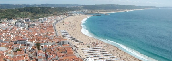
 Hotels at Horta
 West


 WestNorthWest
 NorthWest
 NorthNorthEast
 EastSouthEast
 Gibraltar


 SouthEast
 SouthSouthWest


 Filming Location


