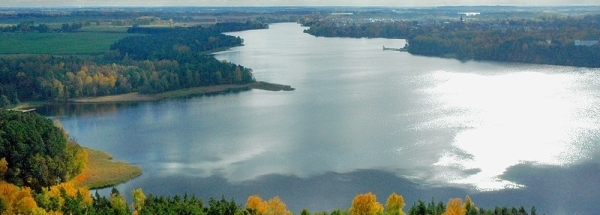
 Janopol
 |
|||||||||||||||||||||||||||||||||||||||||||||||||||||||||||||||||||||||||||||||||||||||||||||||||||||||
|
|
Booking.com | ||||||||||||||||||||||||||||||||||||||||||||||||||||||||||||||||||||||||||||||||||||||||||||||||||||||
JanopolGeneral information - LocationNearest 5 places
Nearest 3 capitals
Characteristics - Physical GeographyThe Baltic Sea is the nearest seacoast with a distance of around 327 km (direction NorthWest).The place is situated in the rivercatchment named Wisla main - Medium - Pilica, part of the larger catchment area Wisla. The nearest bigger lake is Staw Buksa (0.6 km2 at a distance of 10.3 km in SouthSouthEastern direction).The most nearby international border is the Polish-Belarusian border with a straight distance of 103.8 km in NorthEastern direction. The estimated travel distance is around 145 km. Elevation around place: low location: 100%, The hills are mainly southern orientated. The most common land use in the area is agriculture. Name area (subregions, nature area, hills, mountains, landscape)
Nearby scheduled flights are operated from (national) airport Warsaw Chopin Airport (at a distance of 83 km and direction WestNorthWest). Landscape - Landuse (within 5km)
Climate - Temperature and Precipitation |
Location of Janopol in country Poland
Janopol at Physical map (height map)Tourist information - Travel GuideNearest 3 UNESCO-sites
Nearest Natura2000-area
Social media - Maps
|
||||||||||||||||||||||||||||||||||||||||||||||||||||||||||||||||||||||||||||||||||||||||||||||||||||||
Relief: Altitude classes in percent (within 5km)Relief: slope classes in percent (within 5km) |
Current weather at Kłoczew
Weather coming 24 hoursKłoczew - PL (longitude: 21.9308, latitude: 51.7219)Distance weather station to place (direction W): 0.01 Kilometers
|
||||||||||||||||||||||||||||||||||||||||||||||||||||||||||||||||||||||||||||||||||||||||||||||||||||||
5 days Weather forecast: Temperature - Pressure and PrecipitationPressure (mbar)
Wind speed (km/h)
hours
Cloud cover %
precipitation (mm)
hours
|
|||||||||||||||||||||||||||||||||||||||||||||||||||||||||||||||||||||||||||||||||||||||||||||||||||||||
|
Widget is loading comments...
|
|||||||||||||||||||||||||||||||||||||||||||||||||||||||||||||||||||||||||||||||||||||||||||||||||||||||
| number of views: 20 | |||||||||||||||||||||||||||||||||||||||||||||||||||||||||||||||||||||||||||||||||||||||||||||||||||||||


 ©
© 


 Filming Location


