 Kockengen
 |
||||||||||||||||||||||||||||||||||||||||||||||||||||||||||||||||||||||||||||||||||||||||||||||||||||||||||||||||||||
|
|
Booking.com | |||||||||||||||||||||||||||||||||||||||||||||||||||||||||||||||||||||||||||||||||||||||||||||||||||||||||||||||||||
KockengenGeneral information - LocationNearest 5 places
Nearest 3 capitals
Characteristics - Physical GeographyThe North Sea is the nearest seacoast with a distance of around 37 km (direction WestNorthWest).The place is situated in the rivercatchment named Rhine coastal: Lek, part of the larger catchment area Rhine. The nearest bigger lake is Loosdrechtsche Plassen (1.9 km2 at a distance of 5.9 km in EastNorthEastern direction).The most nearby international border is the Dutch-Belgium border with a straight distance of 72.7 km in SouthSouthWestern direction. The estimated travel distance is around 102 km. Elevation around place: very low location (near sea level): 98%, low location: 2%, The most common land use in the area is agriculture. Name area (subregions, nature area, hills, mountains, landscape)
Nearby scheduled flights are operated from (national) airport Amsterdam Airport Schiphol (at a distance of 22 km and direction NorthNorthWest).The closest smaller (subnational) airport is Rotterdam The Hague Airport (at a distance of 41 km in WestSouthWestern direction). Landscape - Landuse (within 5km)
Climate - Temperature and Precipitation |
Location of Kockengen in country Netherlands
Kockengen at Physical map (height map)Tourist information - Travel GuideNearest 3 UNESCO-sites
Nearest Natura2000-area
Social media - Maps
|
|||||||||||||||||||||||||||||||||||||||||||||||||||||||||||||||||||||||||||||||||||||||||||||||||||||||||||||||||||
Relief: Altitude classes in percent (within 5km)Relief: slope classes in percent (within 5km) |
Current weather at Breukelen
Weather coming 24 hoursBreukelen - NL (longitude: 4.9479, latitude: 52.149)Distance weather station to place (direction ZW): 0 Kilometers
|
|||||||||||||||||||||||||||||||||||||||||||||||||||||||||||||||||||||||||||||||||||||||||||||||||||||||||||||||||||
5 days Weather forecast: Temperature - Pressure and PrecipitationPressure (mbar)
Wind speed (km/h)
hours
Cloud cover %
precipitation (mm)
hours
|
||||||||||||||||||||||||||||||||||||||||||||||||||||||||||||||||||||||||||||||||||||||||||||||||||||||||||||||||||||
Built up area sign southside Kockengen municipality Stichtse Vecht 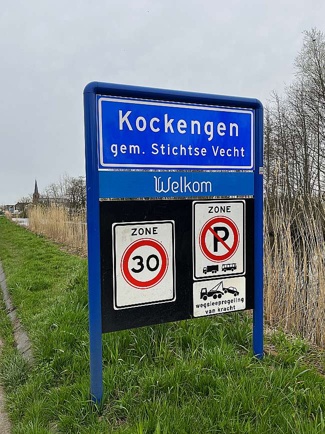 Drawbridge Drie Stammenweg center of Kockengen 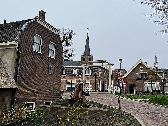 Former reformed church from 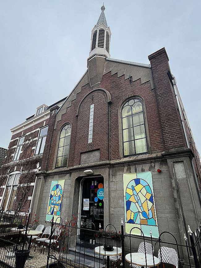 Hervormde Kerk from the west Kockengen 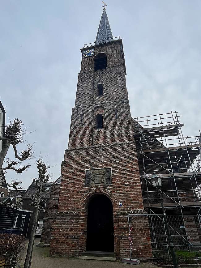 Kockengen seen from the north N 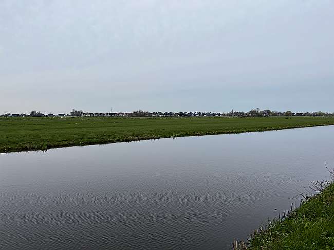 Kockengense molen seen from the south Teckop 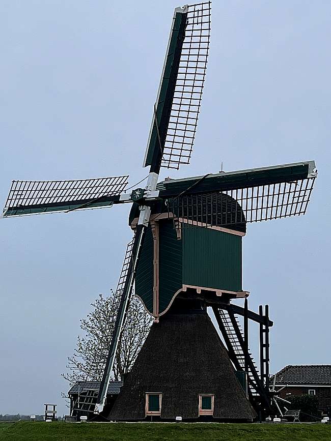 Waterway Bijleveld view to north from bridge Kockengen 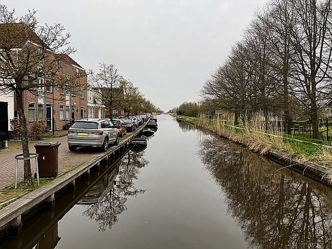 |
||||||||||||||||||||||||||||||||||||||||||||||||||||||||||||||||||||||||||||||||||||||||||||||||||||||||||||||||||||
|
Widget is loading comments...
|
||||||||||||||||||||||||||||||||||||||||||||||||||||||||||||||||||||||||||||||||||||||||||||||||||||||||||||||||||||
| number of views: 72 | ||||||||||||||||||||||||||||||||||||||||||||||||||||||||||||||||||||||||||||||||||||||||||||||||||||||||||||||||||||

 ©
© 


 Filming Location


