 Haarzuilens
 |
|||||||||||||||||||||||||||||||||||||||||||||||||||||||||||||||||||||||||||||||||||||||||||||||||||||||||||||||||||
|
|
Booking.com | ||||||||||||||||||||||||||||||||||||||||||||||||||||||||||||||||||||||||||||||||||||||||||||||||||||||||||||||||||
HaarzuilensGeneral information - LocationNearest 5 places
Nearest 3 capitals
Characteristics - Physical GeographyThe North Sea is the nearest seacoast with a distance of around 41 km (direction WestNorthWest).The place is situated in the rivercatchment named Rhine coastal: Lek, part of the larger catchment area Rhine. The nearest bigger lake is Loosdrechtsche Plassen (1.9 km2 at a distance of 5.3 km in NorthNorthEastern direction).The most nearby international border is the Dutch-Belgium border with a straight distance of 70.4 km in SouthSouthWestern direction. The estimated travel distance is around 99 km. Elevation around place: very low location (near sea level): 100%, low location: 0%, The surroundings of the place is lightly urbanised. The most common land use in the area is agriculture. Name area (subregions, nature area, hills, mountains, landscape)
Nearby scheduled flights are operated from (national) airport Amsterdam Airport Schiphol (at a distance of 26 km and direction NorthWest).The closest smaller (subnational) airport is Rotterdam The Hague Airport (at a distance of 43 km in WestSouthWestern direction). Landscape - Landuse (within 5km)
Climate - Temperature and Precipitation |
Location of Haarzuilens in country Netherlands
Haarzuilens at Physical map (height map)Tourist information - Travel GuideNearest 3 UNESCO-sites
Nearest Natura2000-area
Social media - Maps
|
||||||||||||||||||||||||||||||||||||||||||||||||||||||||||||||||||||||||||||||||||||||||||||||||||||||||||||||||||
Relief: Altitude classes in percent (within 5km)Relief: slope classes in percent (within 5km) |
Current weather at Maarssen
Weather coming 24 hoursMaarssen - NL (longitude: 4.9983, latitude: 52.1218)Distance weather station to place (direction ZW): 0 Kilometers
|
||||||||||||||||||||||||||||||||||||||||||||||||||||||||||||||||||||||||||||||||||||||||||||||||||||||||||||||||||
5 days Weather forecast: Temperature - Pressure and PrecipitationPressure (mbar)
Wind speed (km/h)
hours
Cloud cover %
precipitation (mm)
hours
|
|||||||||||||||||||||||||||||||||||||||||||||||||||||||||||||||||||||||||||||||||||||||||||||||||||||||||||||||||||
Brink village square Haarzuilens seen from the east 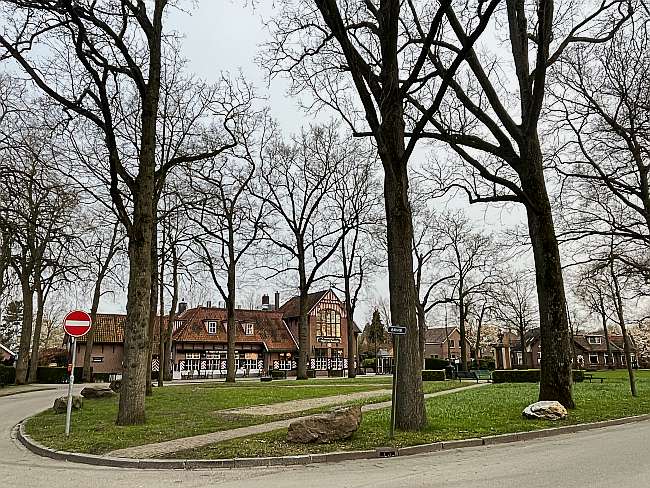 Built up area sign Brinkstraat Haarzuilens municapility Utrecht 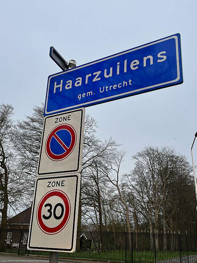 Nature area Klein Limburg Natuurmonumenten Polderweg northwest from the village of Haarzuilens 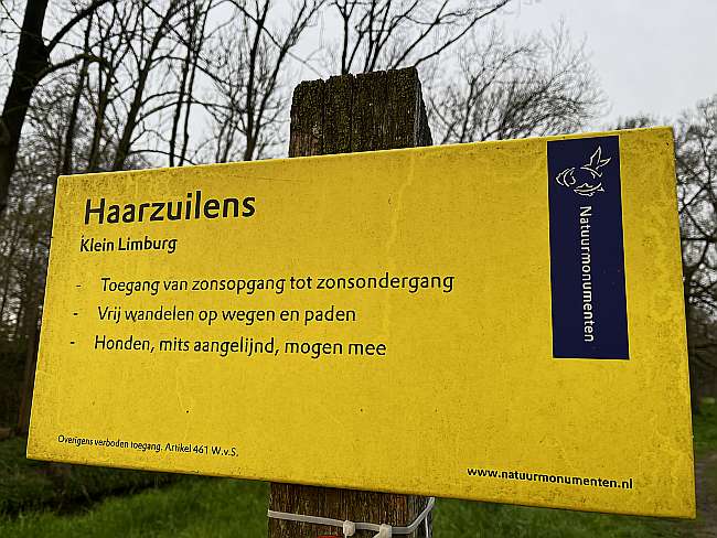 Restaurant het Wapen van Haarzuylen at the front with typical white red decoration 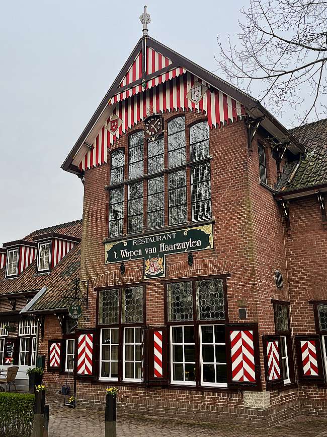 Restaurant Toetje Brinkstraat Haarzuilens 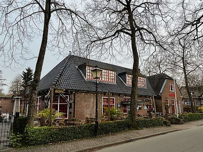 Typical landscape just outside the village of Haarzuilens polderweg 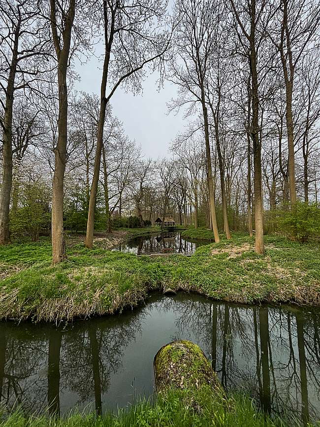 Sign with place name Haarzuilens at north entrance of the village Ockhuizerweg 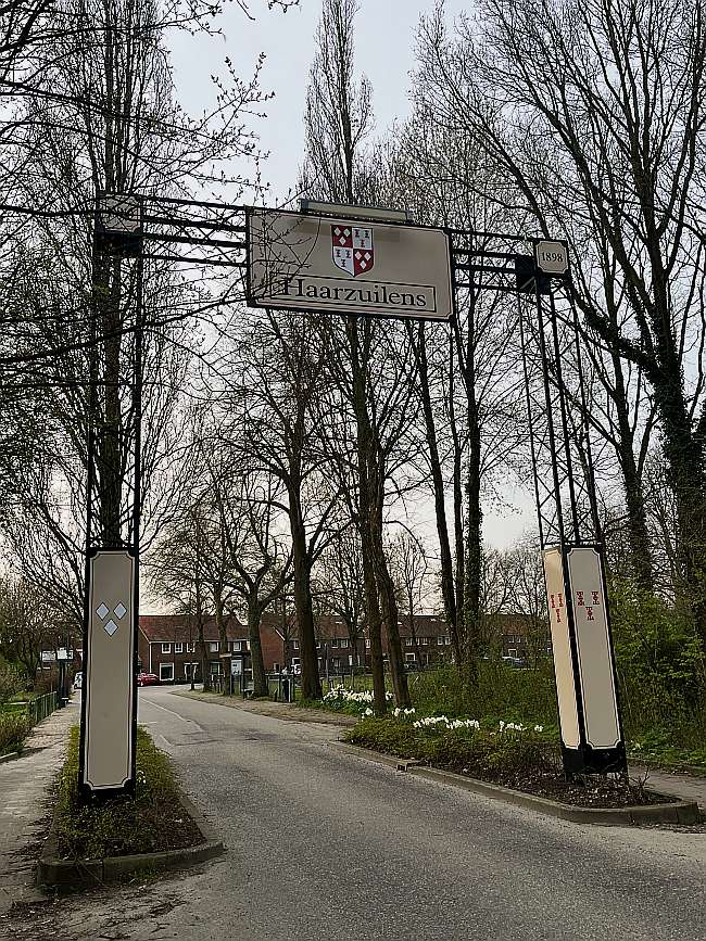 |
|||||||||||||||||||||||||||||||||||||||||||||||||||||||||||||||||||||||||||||||||||||||||||||||||||||||||||||||||||
|
Widget is loading comments...
|
|||||||||||||||||||||||||||||||||||||||||||||||||||||||||||||||||||||||||||||||||||||||||||||||||||||||||||||||||||
| number of views: 55 | |||||||||||||||||||||||||||||||||||||||||||||||||||||||||||||||||||||||||||||||||||||||||||||||||||||||||||||||||||

 ©
© 


 Filming Location


