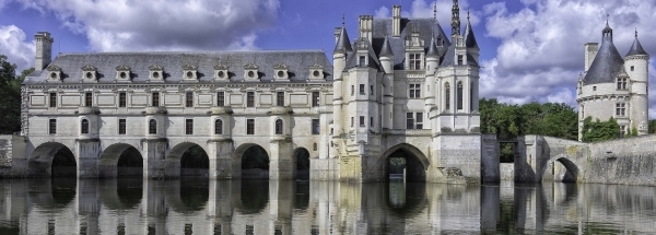
 Fougerolles
 |
|||||||||||||||||||||||||||||||||||||||||||||||||||||||||||||||||||||||||||||||||||||||||||||||||||||||
|
|
Booking.com | ||||||||||||||||||||||||||||||||||||||||||||||||||||||||||||||||||||||||||||||||||||||||||||||||||||||
FougerollesGeneral information - LocationNearest 5 places
Nearest 3 capitals
Characteristics - Physical GeographyThe Bay of Biscay is the nearest seacoast with a distance of around 231 km (direction West).The place is situated in the rivercatchment named Vienne, part of the larger catchment area Loire, Brittany and Vendee coastal waters. The nearest bigger lake is Lac de Chambon (1.2 km2 at a height of around -1 meter above sea level) at a distance of 22.3 km in WestSouthWestern direction).The most nearby international border is the French-Swiss border with a straight distance of 318.1 km in EastSouthEastern direction. The estimated travel distance is around 445 km. Elevation around place: low location: 4%, hill: 96%, The hills are mainly eastern orientated. The most common land use in the area is agriculture. Name area (subregions, nature area, hills, mountains, landscape)
Nearby scheduled flights are operated from (national) airport Paris-Orly Airport (at a distance of 243 km and direction NorthNorthEast). Landscape - Landuse (within 5km)
Climate - Temperature and Precipitation |
Location of Fougerolles in country France
Fougerolles at Physical map (height map)Tourist information - Travel GuideNearest 3 UNESCO-sites
Nearest Natura2000-area
Social media - Maps
|
||||||||||||||||||||||||||||||||||||||||||||||||||||||||||||||||||||||||||||||||||||||||||||||||||||||
Relief: Altitude classes in percent (within 5km)Relief: slope classes in percent (within 5km) |
Current weather at Arrondissement de La Châtre
Weather coming 24 hoursArrondissement de La Châtre - FR (longitude: 1.8664, latitude: 46.5627)Distance weather station to place (direction N): not known
|
||||||||||||||||||||||||||||||||||||||||||||||||||||||||||||||||||||||||||||||||||||||||||||||||||||||
5 days Weather forecast: Temperature - Pressure and PrecipitationPressure (mbar)
Wind speed (km/h)
hours
Cloud cover %
precipitation (mm)
hours
|
|||||||||||||||||||||||||||||||||||||||||||||||||||||||||||||||||||||||||||||||||||||||||||||||||||||||
|
Widget is loading comments...
|
|||||||||||||||||||||||||||||||||||||||||||||||||||||||||||||||||||||||||||||||||||||||||||||||||||||||
| number of views: 44 | |||||||||||||||||||||||||||||||||||||||||||||||||||||||||||||||||||||||||||||||||||||||||||||||||||||||


 ©
© 


 Filming Location


